Summary of My Certifications and Training Classes Completed at Various Educational Institutions

 I’m a one-man operation with 35 years of experience in engineering and construction technology. I’m a licensed and insured drone pilot, and a certified thermographer based in the Sarasota–Bradenton FL area, I’m available to travel anywhere. I endeavor to provide my clients with accurate and timely information from  aerial infrared roof thermography and analysis, 3D digital roof and facade inspections, centimeter accuracy orthomosaic maps to construction walk through by documenting with precision photography. I work with construction managers, architects, surveyors, and civil engineering firms to help reduce costs through site progress monitoring, contractor work verification, and documented proof of material deliveries. I also provide stockpile volume measurements and site safety insights, giving management teams reliable visual data to validate work, track schedules, and stay on budget. I carry active liability insurance for every project. My specific certifications are listed below. Please don’t hesitate to contact me.

  • Precision survey grade aerial maps and orthomosaics: High-resolution, geo-referenced site maps for accurate measurements, planning, and documentation.
  • Infrared thermal data acquisition and analysis of commercial facades and roof structure for moisture and building envelope anomalies. 
  • 3D models of commercial roof and facade inspections, and digital surface/terrain models: Detailed 3D building reconstructions for visualization, design review, insurance documentation.
  • Asset and infrastructure inspections: Close-up aerial imagery to assess roofs, facades, towers, and hard-to-reach assets safely and efficiently.
  • Photogrammetry deliverables (measurements, contours, and volumes): Survey-grade outputs to quantify distances, elevations, and stockpile volumes.
  •  360° construction site walk thrus: Interactive panoramas to track progress, share updates, and document conditions remotely.
  •  Aerial, Exterior and Interior real estate photography. Zillow 3D Elite Certified Photographer (Real Estate agents and property managers).

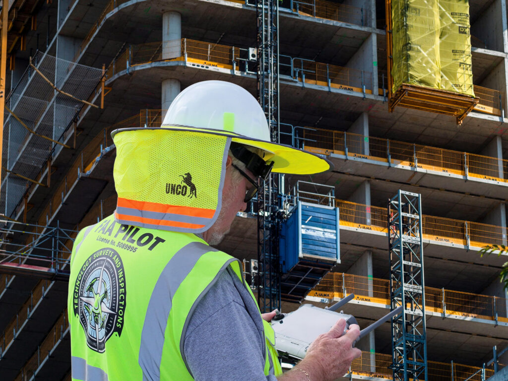
Unmanned Aerial Vehicles (UAVs), or drones, have catalyzed a paradigm shift across the surveying, construction, civil engineering, and municipal utility sectors. Moving beyond simple aerial photography, modern drone services offer an integrated suite of data acquisition and analytics capabilities that drive profound improvements in operational efficiency, cost management, safety, and decision making. Current image processing software provides a comprehensive analysis of key drone services, including orthomosaic photogrammetry, progress monitoring, compliance tracking, digital terrain and surface modeling, volumetric analysis, and 3D asset inspection. The details the technical underpinnings of these services, their tangible business benefits, and their specific applications for industry professionals are demonstrating how drone powered reality capture is becoming an indispensable tool for modern project delivery and asset management.