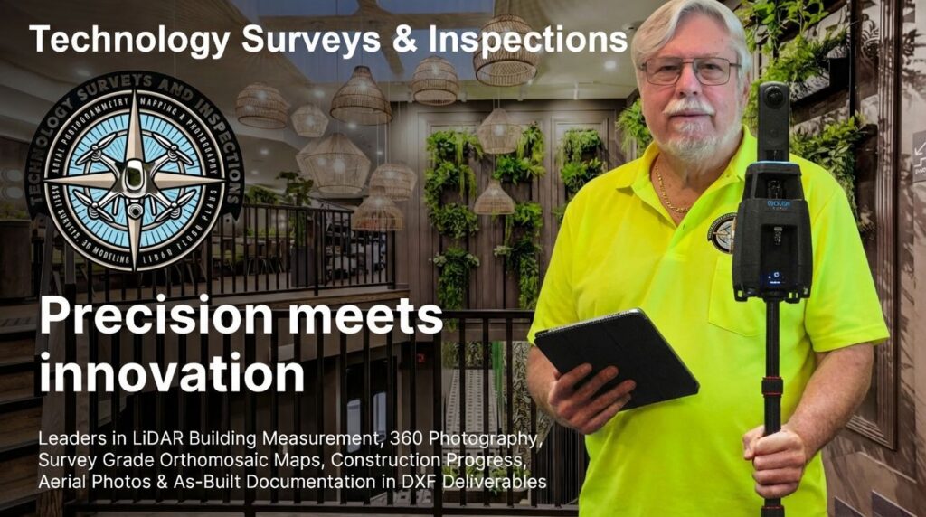
Mission Statement
At Technology Surveys & Inspections our mission is to revolutionize precision surveying, mapping, 3D digital modeling, insurance claim documentation and photography through advanced drone photogrammetry. We specialize in delivering high-accuracy aerial and ground based photography for construction progress reporting, asset inspections, thermal imaging, mapping, and as built DWG/DXF Drawings for architects, engineers, facility managers, insurance claims, construction professionals, and real estate companies.
Utilizing the latest drone camera sensors, 360-degree cameras, LiDAR, thermal sensors, and AI-driven technologies, we are committed to providing high-quality, precise, and professional deliverables that empower our clients to visualize, plan, manage, and execute their projects with confidence. Our goal is to bridge the gap between cutting-edge technology and real-world applications, ensuring efficiency, accuracy, and excellence in every project we undertake.
Precision As Built Drawings & Project Documentation
From Concept to Completion, Build with Unprecedented Certainty.
For every project, the biggest risks live in the gap between the design and the reality on site. Inaccurate as-builts, unforeseen conditions, and communication gaps lead to costly change orders, project delays, and budget overruns that frustrate the entire team.
Technology Surveys & Inspections (TSI) closes that gap.
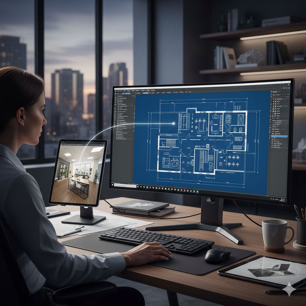
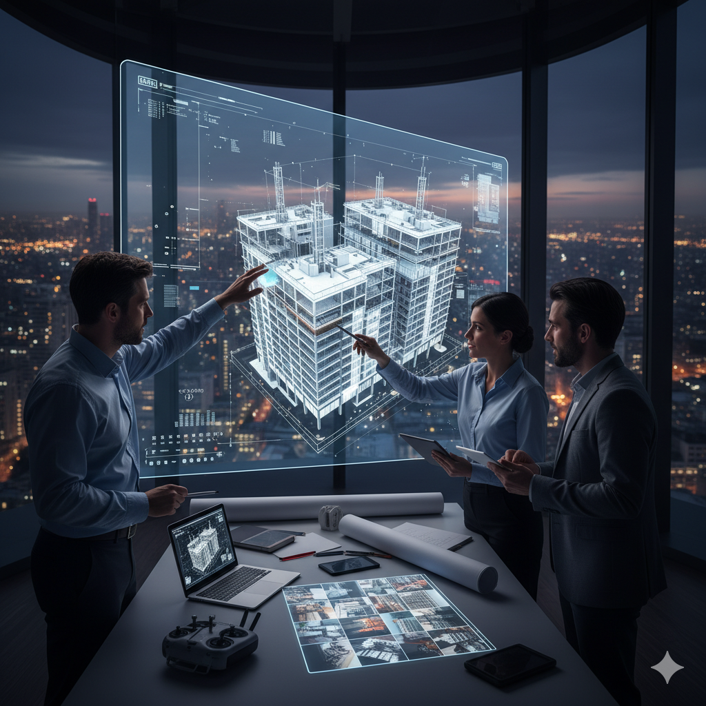
We use iGUIDE’s advanced Lidar and 3D imaging to create a complete digital twin of your project—a single source of truth that empowers every stakeholder:
For Architects: Stop wasting days on manual measurements. Start your design with dimensionally-accurate CAD drawings and point cloud data ready for Revit or AutoCAD, ensuring your vision can be built with precision.
For Contractors & Project Managers: Eliminate guesswork and rework. Use our immersive 3D tours to coordinate with subcontractors, verify progress remotely, and create “x-ray vision” of pre-drywall conditions to document exactly what’s behind the walls.
Survey Grade Construction Mapping
Centimeter Accurate Survey Grade Orthomosaic Maps
Step into the future of mapping with our centimeter-accurate survey grade orthomosaic maps. These are not your average aerial photos; we create highly detailed, distortion-free maps that offer unparalleled accuracy. This precision allows for exact measurements and analysis, crucial for land surveying, urban planning, and infrastructure assessment. By integrating seamlessly with GIS and CAD software, these maps provide an up-to-date and crystal-clear view of your project, enabling better decision-making and planning.

3D Digital Models of Assets
3D Digital Models
Bring your project to life with stunningly realistic 3D digital models. Using advanced photogrammetry, we transform overlapping aerial images into immersive and measurable digital twins of your assets. These models are invaluable for a wide range of applications, including architectural design, construction progress tracking, and real estate marketing. Visualize your project from every angle, identify potential issues before they become costly problems, and gain a comprehensive understanding of your site that 2D drawings simply cannot provide.
High Resolution Roofing Inspections
Why drone estimating changes the game
- Keep your crews off dangerous roofs
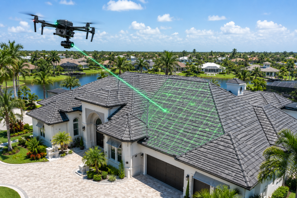
Roofing is one of the most hazardous trades. Every climb on a steep, wet, or damaged roof exposes your team to falls, soft spots, and hidden hazards like loose decking or wasp nests. With drone inspections, I stay safely on the ground while the drone captures every angle of the roof, dramatically reducing your risk and workers’ comp exposure. - Faster, more accurate measurements
High‑resolution drone imagery delivers clean, current views of the roof—even when trees, overhangs, or complex roof lines make satellite images unusable or outdated. The data feeds directly into measurement software, giving you precise square footage, pitch, and facet measurements in a fraction of the time it takes to walk a roof by hand. That means fewer measurement mistakes, tighter material orders, and more profitable jobs.
Hyper Lapse Photography of Construction Sites
Hyper Lapse Photography of Construction Builds
Showcase the evolution of your construction project with captivating hyper-lapse photography. We condense months or even years of work into a short, dynamic video that tells the story of your build from groundbreaking to completion. This powerful visual tool is not only perfect for marketing and stakeholder engagement but also serves as a detailed project record. It enhances transparency, provides a clear timeline of progress, and creates a sense of pride and accomplishment for your team.
Thermal Imaging of Building Assets
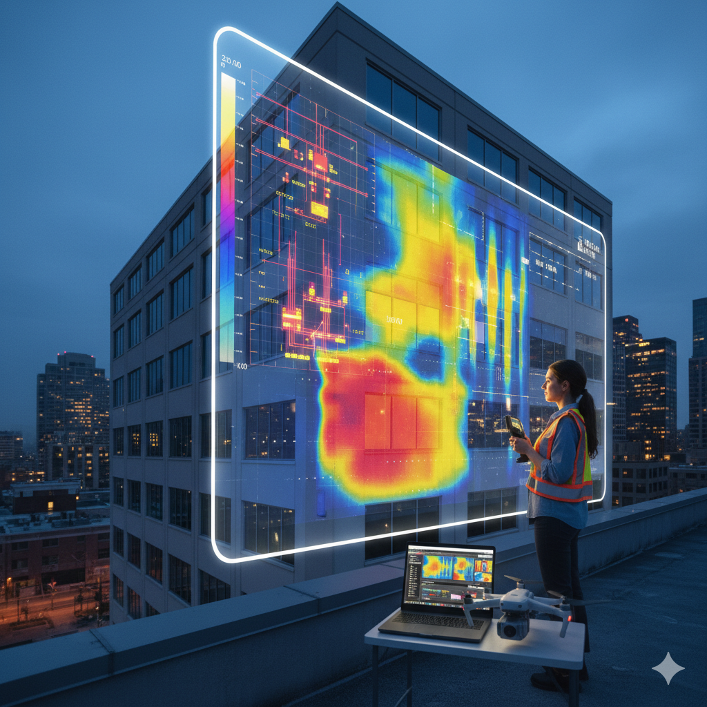
Thermal Imaging
Uncover the unseen with our professional thermal imaging services. As a certified thermal imaging technician, I utilize state-of-the-art infrared technology to detect temperature variations that indicate hidden problems. From identifying moisture intrusion and energy loss in buildings, thermal imaging is a safe and non-invasive way to diagnose issues before they escalate. This proactive approach can save building owners, facility managers, and insurance underwriters significant time and money on repairs.
Construction Progress Monitoring
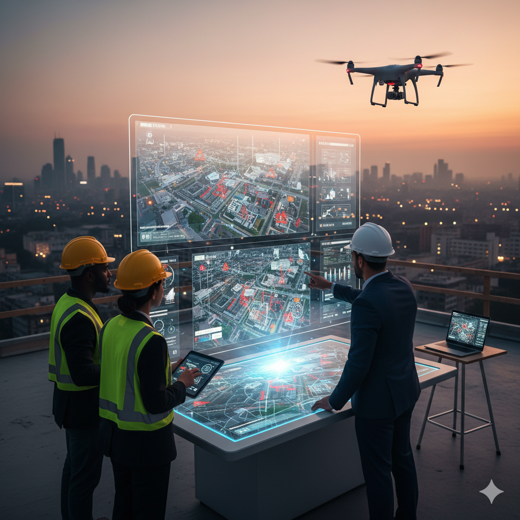
Construction Progress Monitoring & Reporting
Keep your construction projects on track and on budget with our comprehensive progress monitoring and reporting. We utilize drones to capture high-resolution aerial data, providing you with a clear and objective view of your job site. This allows for faster data collection, improved accuracy, and enhanced transparency for all stakeholders. By comparing progress to plans, you can identify delays, address safety hazards, and ensure quality control throughout the entire construction lifecycle.
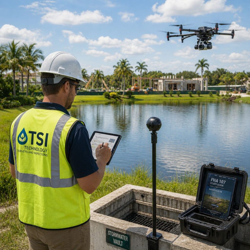
Florida Annual Stormwater Underground Detention Vault Inspections
Florida certified Stormwater Qualified Inspector, Certificate No. 63083, qualified to perform independent ERP stormwater inspections under Florida’s updated Administrative Code.
360° Photography of Underground Detention Vaults: Comprehensive visual documentation for compliance reports and maintenance records.
OSHA-Certified with Manhole Expertise: Safety trained to open/close covers and inspect confined spaces per safety standards
FAA Part 107 Drone Pilot: Survey-grade orthomosaic mapping of trenching, drainage corridors, and stormwater infrastructure for precise site analysis. Providing contour elevations and high resolution inspection images of BMP conditions.
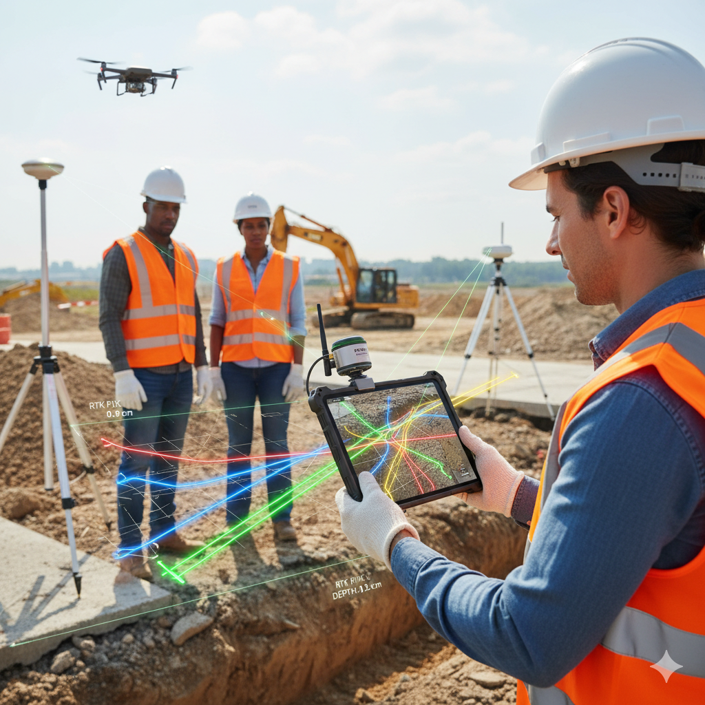
Underground Utilities Location And Viewing With Augmented Reality, Precision Location Using RTK Corrections.
Augmented Reality Capture of Underground Utilities
Avoid costly and dangerous utility strikes with our cutting-edge augmented reality (AR) capture of underground utilities. This innovative technology allows you to “see” buried infrastructure in real-time on your device, overlaying a 3D map of pipes and cables onto the physical world. By providing precise, real-time visualization of subsurface utilities, we enhance safety, prevent damages, and streamline excavation and construction processes.
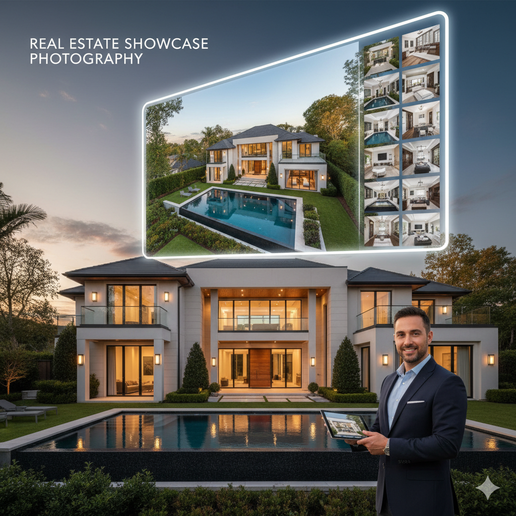
Real Estate Showcase Photography
Real Estate Photography
Make a powerful first impression and attract more potential buyers with our professional real estate photography. In today’s digital market, high-quality images are essential for showcasing a property’s true value. Listings with professional photos not only receive more online views but can also command a higher asking price. Our stunning aerial and ground-level photography will capture the essence of your property, highlighting its best features and creating a compelling visual narrative that resonates with buyers.
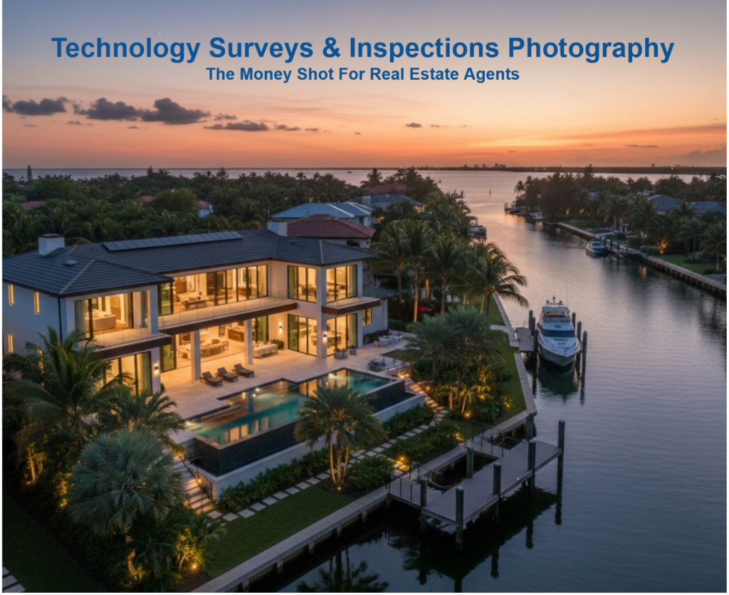
Aerial Photography
Aerial Photography
Capture breathtaking views and gain a unique perspective with our professional aerial photography and video services. We go beyond standard ground-level photos to showcase your property, event, or project in a way that is both dramatic and informative. High-quality aerial images and videos are a powerful marketing tool that can highlight key features, provide spatial context, and create attention-grabbing content that will set you apart from the competition.
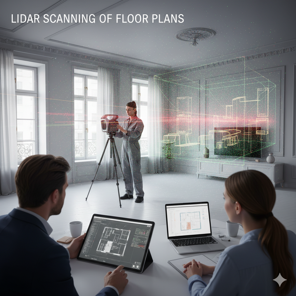
LiDAR Scanning of Floor Plans
LiDAR Scanning of Floor Plans
Achieve unparalleled accuracy and detail in your floor plans with our advanced LiDAR scanning services. By using laser pulses to measure distances, we create precise 3D models of interior spaces, capturing everything from ceiling heights to intricate architectural features. This technology eliminates the human error associated with manual measurements and provides a comprehensive digital foundation for architects, engineers, and interior designers to build upon.
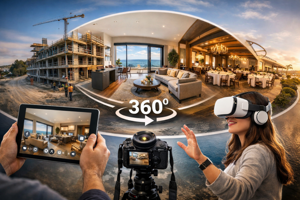
360 Degree Tours and Panoramic Photography
Immerse Your Audience with Interactive 360-Degree Environments
Step beyond the limitations of traditional photography and videography by offering your audience a fully immersive and interactive experience. Our 360-degree virtual tours and panoramic shots transport your clients directly into the heart of your project, allowing them to explore every angle and detail at their own pace. This cutting-edge technology is a powerful tool for engaging potential customers, providing them with a comprehensive understanding of a property or space from anywhere in the world. Whether for real estate, construction progress monitoring, or creating a virtual walkthrough of a unique venue, these interactive experiences have been shown to increase online engagement and build customer confidence
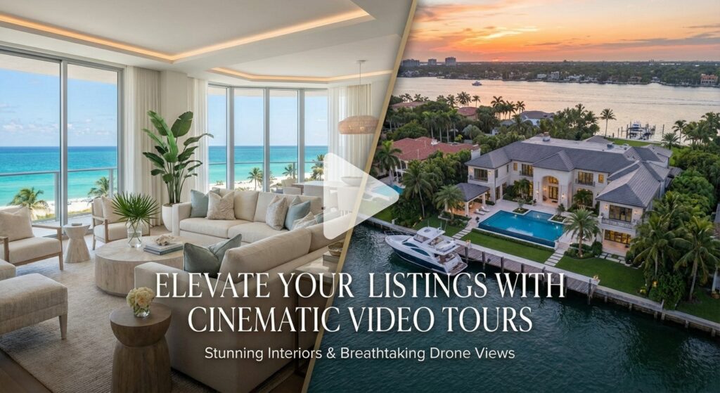
Video Tour of The Interior and Aerial Drone Images Combined Into One Composite MP4 Video
Video Tours For Real Estate Agents
Step inside and soar above with our immersive property experience. Our comprehensive video tour allows you to virtually walk through the interior. Then, take to the skies with breathtaking aerial drone photography that showcases the entire property, its beautiful surroundings, and the surrounding neighborhood. By offering this combined visual experience, we aim to provide you with an in-depth and total view of the interior and aerial view of the property.
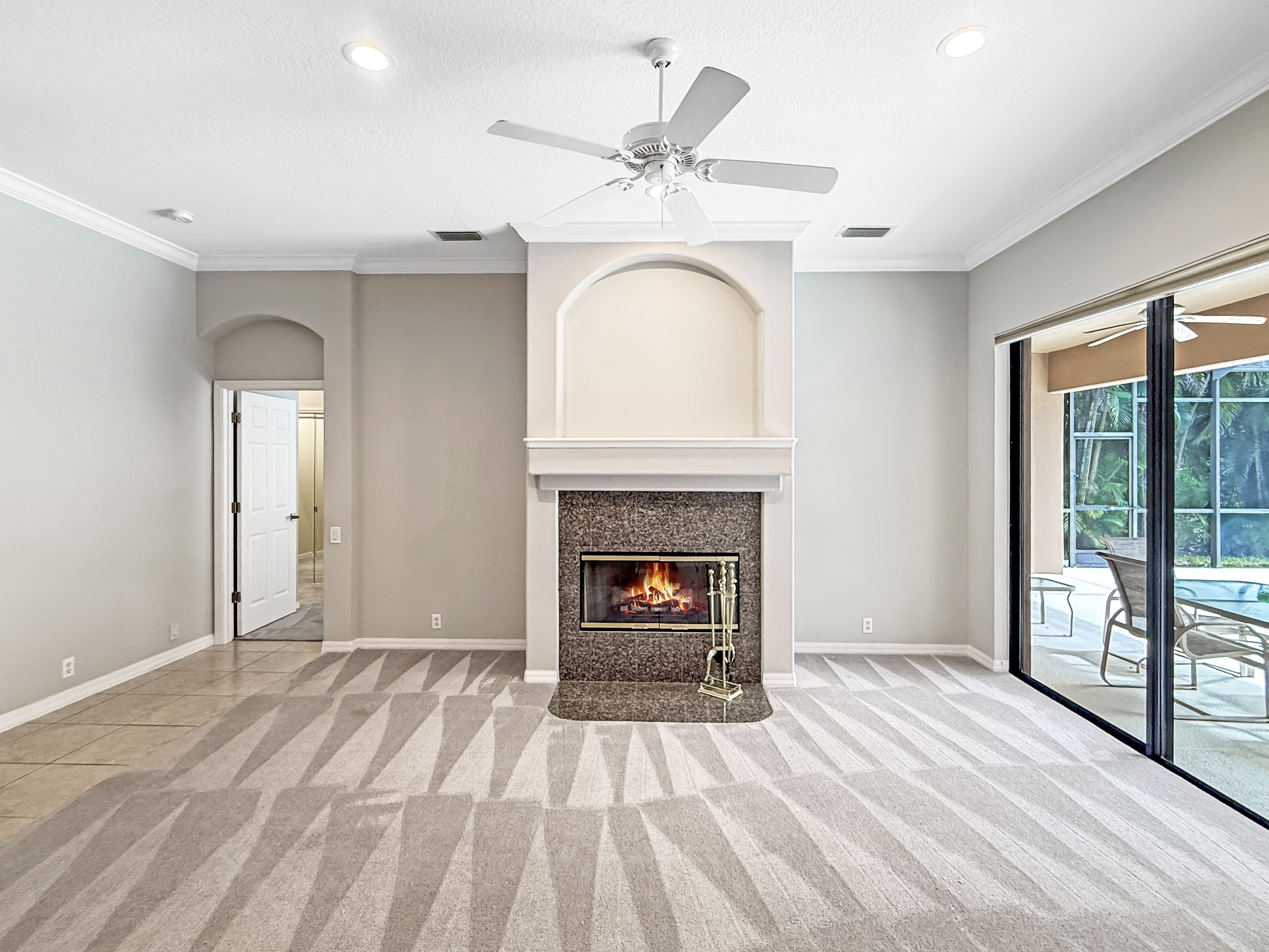
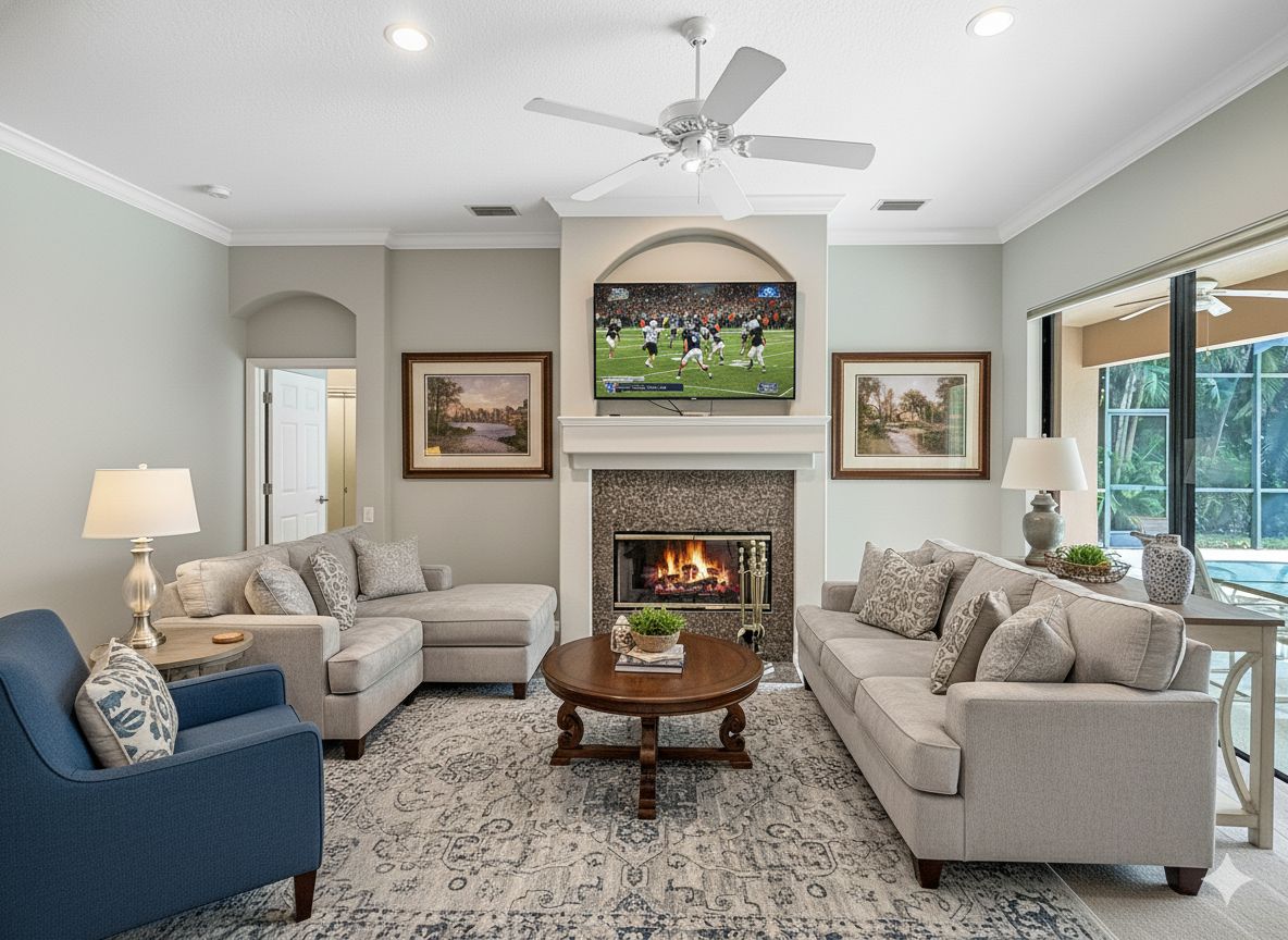
Virtual Staging
Give Your Residential or Commercial Properties That Warm Furnished Look
Virtual staging transforms an empty property into a warm, aspirational space that helps buyers immediately envision how rooms can function and feel. Instead of the cost and logistics of physical staging, you can virtually furnish and decorate every room with stylish, on-trend pieces tailored to your target buyer, often in a fraction of the time and budget. This elevates your listing photos, makes online marketing dramatically more compelling, and helps your property stand out in crowded search results. By presenting a move‑in–ready vision rather than bare walls and echoing rooms, virtual staging can shorten days on market, attract higher‑quality showings, and support stronger offers.