According to Zillow, a floor plan is the second most important feature on a listing and is highly correlated with capturing potential leads. Listings with interactive floor plans can boost engagement by over 30%, attracting more qualified leads and helping to sell properties faster.
- 67% of home buyers agree a dynamic floor plan that shows what part of the home each photo depicts would help them determine if the home is right for them.*
- Listings on Zillow with an Interactive Floor Plan received, on average, 58% more views than listings without an Interactive Floor Plan.**
- Homes on Zillow with an Interactive Floor Plan were saved 79% more than homes without an Interactive Floor Plan.**
*Source: 2022 Zillow Consumer Housing Trends Report
**Based on data collected October 2022-March 2023 for Top 50 MSAs by listing volume.
Bridge the Gap Between Photos and Reality
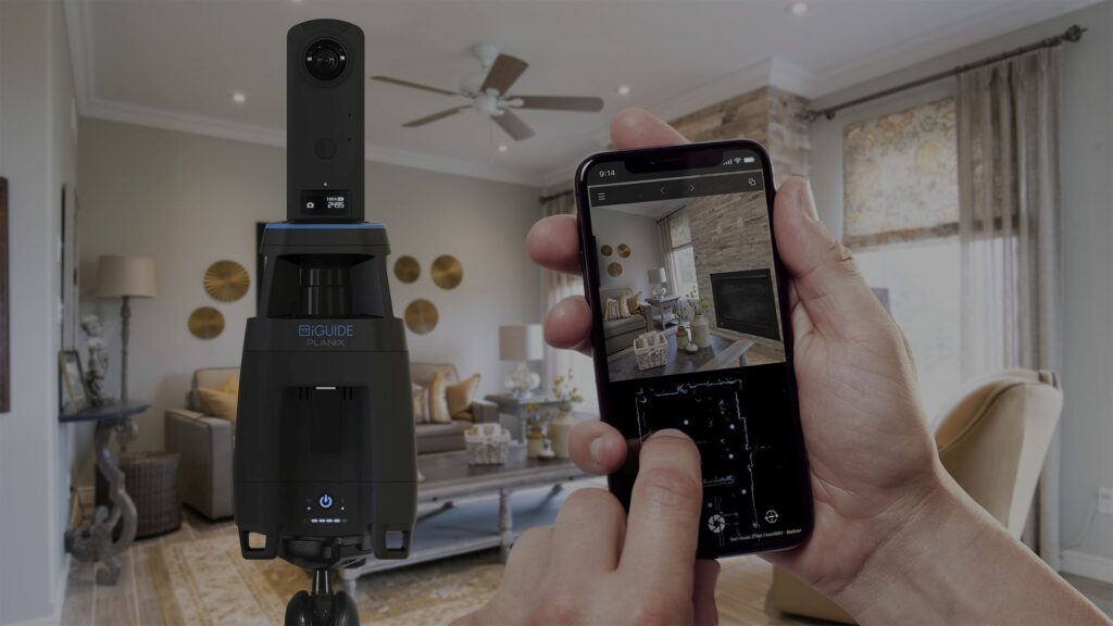
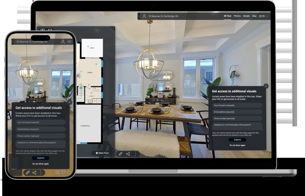
High-resolution photos are essential for capturing a home’s aesthetic appeal, but they often leave buyers with questions about the spatial relationships between rooms. A LiDAR-scanned floor plan bridges this gap by providing a clear and accurate representation of the property’s layout. Couple this with high resolution 360 degree photographs and you have elevated your listing to the platinum level. Click to view a live virtual tour.
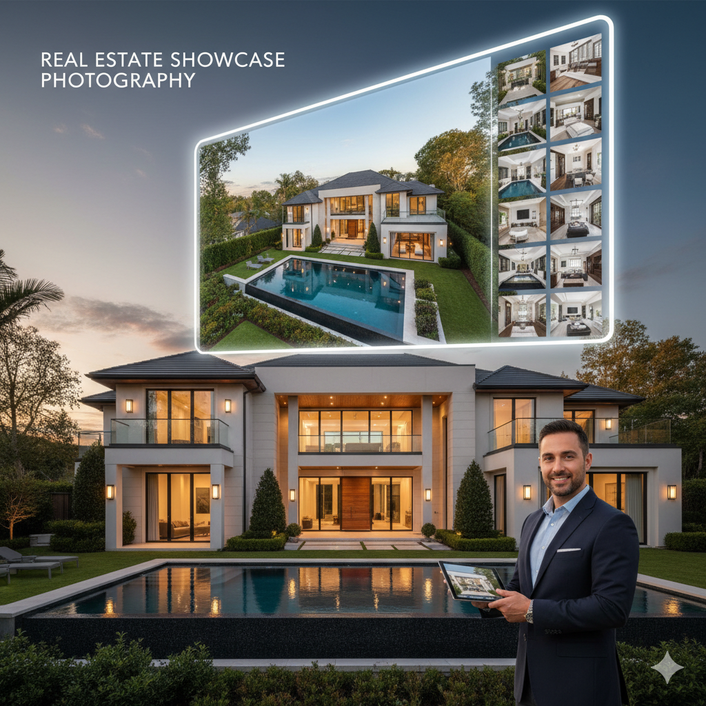
Showcase the Exterior With Aerial Photos and Video
Imagine showcasing a property’s stunning exterior and surrounding landscape, aerial views above the property, and high altitude shots showing the surrounding amenities, schools, shopping, and near-by features of breathtaking aerial shots while also providing a detailed, interactive map of its interior.
Combine Immersive 360 Degree Walk Thru Images with Aerial Views
Display a property’s stunning exterior and surrounding landscape with breathtaking aerial shots while also providing a detailed, interactive 360 degree images of the interior. This powerful combination creates a compelling narrative that tells the complete story of a home, from its curb appeal to its in-depth layout. For commercial properties, this can even include advanced data on structural integrity and energy efficiency.
Elevate Your Marketing and Your Brand
By seamlessly integrating our professional photography with an interactive floor plan, you empower potential buyers to:
- Visualize the Flow: Understand how rooms connect and envision themselves moving through the space.
- Mentally Place Furniture: The accurate dimensions allow buyers to confidently assess if their belongings will fit, answering a crucial question early in the decision-making process.
- Gain a Comprehensive Understanding: The combination of stunning visuals and a precise layout offers a complete picture of the property, leading to more qualified and engaged buyers.
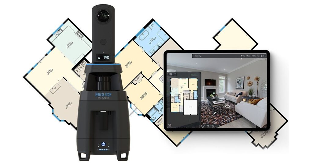
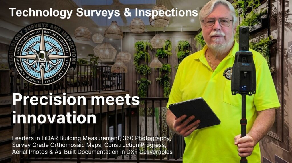
LiDAR and 360 Degree Images For Detailed Generation of Floor Plans And Construction Progress Monitoring
By seamlessly integrating our professional 360 degree 3D photography with an interactive floor plan, you empower construction project managers, investors, potential buyers, insurance companies, and other stake holders to stay informed and up to date on project timelines.
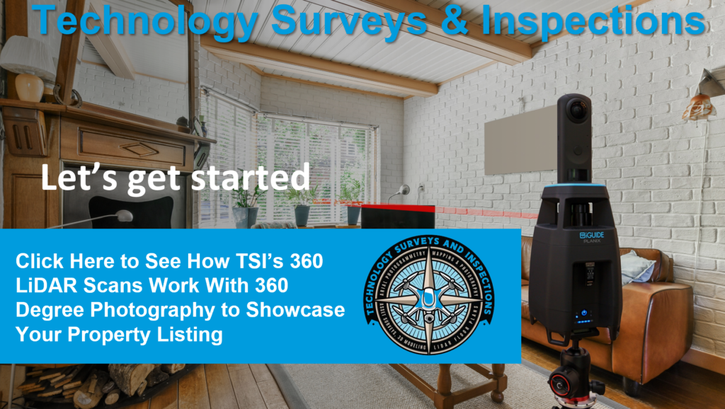
How the Technology Works
Short walk thru on how the LiDAR scanning process captures a real estate property inside and out