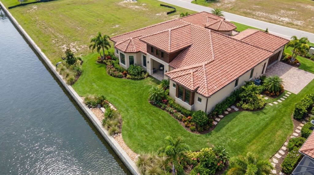
Survey Grade Orthomosaic Site Maps
Stop wrestling with outdated surveys and inaccurate measurements. My aerial orthomosaic mapping services deliver highly detailed, survey-grade maps allowing you to superimpose digital DXF CAD drawings with centimeter level accuracy, empowering you to design, bid, and build with unparalleled accuracy and efficiency.
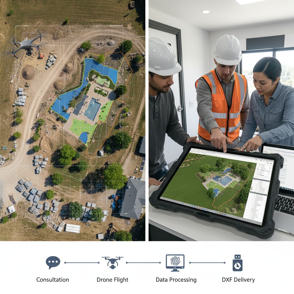
Our Simple, Four-Step Process:
- Consultation: We discuss your project needs and specifications.
- Drone Flight: I am a FAA-certified pilot and I conduct a swift and non-intrusive aerial survey of your site.
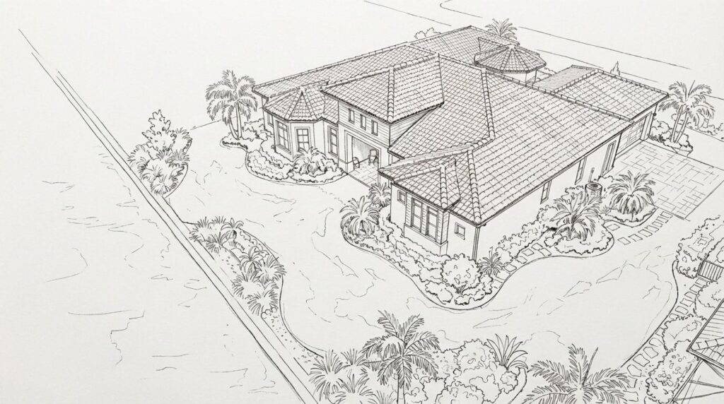
- Data Processing: I process the captured images to create a high-resolution orthomosaic map and a precise 3D model.
- Orthomosaic map Delivery: You receive a ready-to-use GeoTIFF referenced ready for you to overlay your project design DXF file, compatible with your CAD software, along with the high-resolution imagery.

Gain a Competitive Edge with Precision Drone Mapping for Seamless CAD Integration
In today’s competitive landscape market, precision and efficiency are paramount. Traditional surveying methods are time-consuming and often fail to capture the level of detail needed for complex landscape designs and installations.
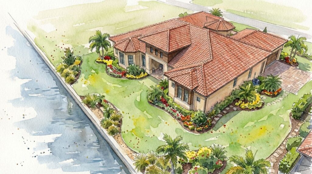
My advanced drone technology solves this problem by providing a comprehensive, bird’s-eye view of your project site, translated into a versatile and user-friendly GeoTIFF file that integrates seamlessly into your existing CAD workflow.
Build Smarter: The Power of Precision Aerial Mapping
Gain a competitive edge with precise data that streamlines your entire workflow, from initial bidding to final installation. My aerial mapping service helps you mitigate risks, control costs, and deliver exceptional results.
Accurate Material Takeoffs: The precise measurements obtained from GeoTIFF orthomosaic aerial maps allow for highly accurate calculations of materials such as soil, mulch, pavers, and turf. This minimizes waste and prevents costly over-ordering.
Efficient Project Planning and Management: Use the detailed site data to optimize your crew’s workflow, plan for equipment access, and identify potential challenges before they arise on site. The ability to monitor progress with updated aerial imagery keeps projects on schedule and on budget.
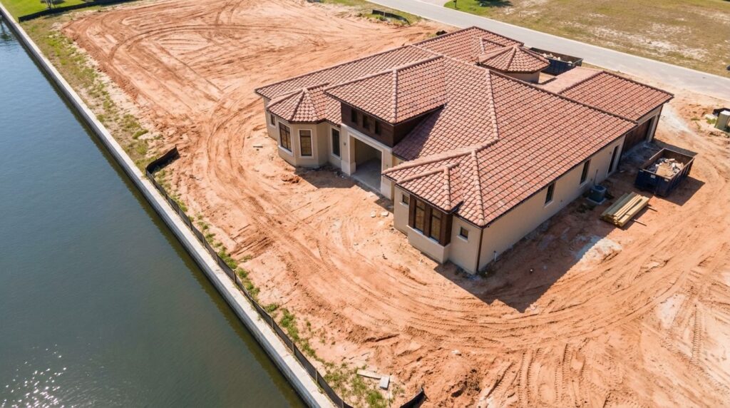
“Precise Measurements” for Accurate Excavation and Grading
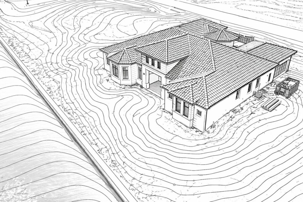
Precise Grading and Earthwork: The accurate topographic data provided in my orthomosaic files is crucial for developing precise grading plans, ensuring proper drainage and a solid foundation for all landscape elements.
Clear Communication with Subcontractors: Share detailed and accurate plans with your team and subcontractors, ensuring everyone is working from the same information. This reduces errors and rework, saving you time and money.
“Data retrieved from my drone affords us the ability to compute precise measurements of earth that needs to be excavated and graded.”
For Landscaping Nurseries: From Large-Scale Plantings to Site Management for Commercial or Residential Projects
Whether you’re involved in large-scale planting projects or managing extensive grounds, our aerial mapping services provide the data you need for successful planning and execution.
Informed Large-Scale Planting Design: For extensive commercial or residential projects, our orthomosaic maps provide a detailed canvas for creating comprehensive planting plans. The ability to overlay designs on high-resolution aerial imagery helps in visualizing the final outcome and making informed plant selection and placement decisions.
Accurate Inventory and As-Built Documentation for Landscape Professionals
Accurate Inventory and Site Management: For nurseries with large growing fields, our drones can quickly and efficiently capture an overview of your stock, helping with inventory management and planning.
As-Built Documentation for Future Reference: After a large installation, an aerial survey can provide valuable “as-built” documentation, creating a precise record of where
The Future of Landscape Design: Comprehensive Site Data with Advanced Drone Mapping
As-Built Documentation for Future Reference: After a large installation, an aerial survey can provide valuable “as-built” documentation, creating a precise record of where everything is located from plantings, hardscape, and irrigation infrastructure for use in future maintenance or additions.