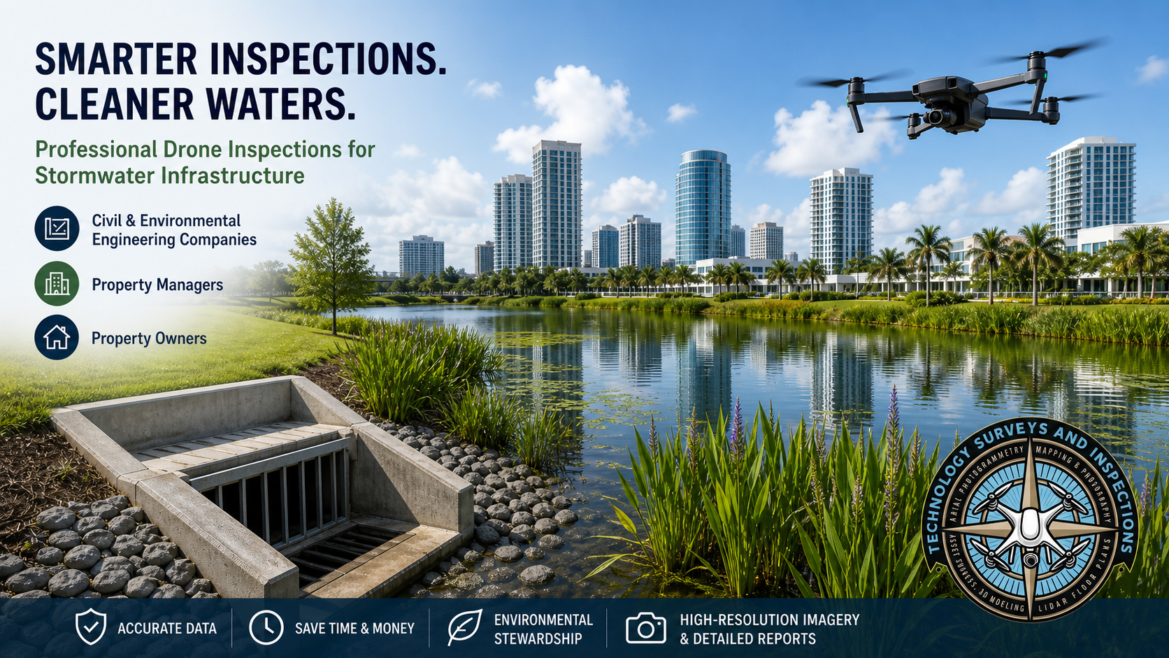
Civil Engineering Companies, Environmental Engineering Companies, Facility Managers, Property Managers, Building Owners
We Offer A Complete Stormwater BMP Inspection Solution
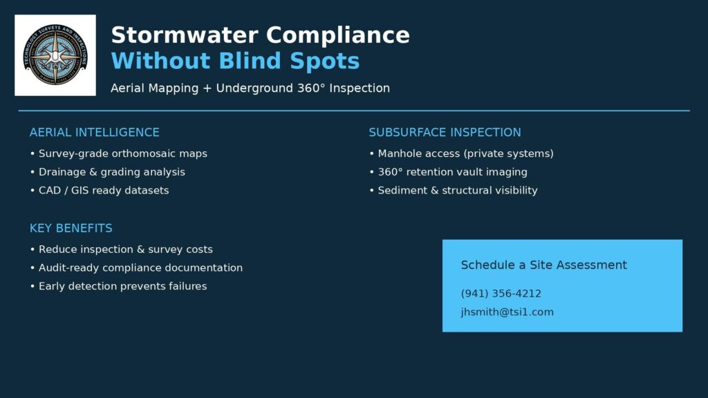
Storm-water Compliance Without Blind Spots
Aerial Mapping + Underground Detention Vault Inspection = Total Site Intelligence
Engineering firms, facility managers, and property owners are under increasing pressure to prove storm-water compliance, reduce costs, and manage risk—but most solutions only tell part of the story.
Drone mapping shows you what’s happening above ground.
But compliance failures often start below it.
That’s where Technology Surveys & Inspections stands apart.
What Makes Technology Surveys & Inspections Different
Technology Surveys & Inspections delivers a complete storm water intelligence solution by combining:
1. Survey-Grade Aerial Orthographic Mapping
- High-resolution, georeferenced orthomosaics
- Accurate measurements for grading, drainage, and flow paths
- CAD/GIS-ready datasets for engineering workflows
2. Subsurface Inspection & Documentation
- Manhole access and inspection on private property systems
- 360° imaging of underground retention vaults and structures
- Visual verification of internal conditions, sediment levels, and structural integrity
For examples of 360 Degree Imaging of storm-water detention vaults click here.
What This Means for You
No More Guesswork—Above or Below Ground
Most compliance programs rely on:
- Partial visibility
- Outdated plans
- Manual inspections that miss critical issues
Technology Surveys & Inspections gives you:
- Full site visibility—from surface drainage to subsurface systems
- A complete, visual record of infrastructure condition
- Data you can actually defend in audits or disputes
Key Advantages
1. True End-to-End Storm water Assessment
You’re not just mapping surfaces—you’re verifying the entire system:
- Retention ponds
- Drainage paths
- Underground vaults and piping networks
This ensures nothing is overlooked.
2. Reduced Compliance Risk
With 360° underground imaging and aerial mapping:
- You can document conditions at a specific point in time
- Provide proof of maintenance and functionality
- Identify blockages, sediment buildup, or structural issues early
That’s the difference between reacting to violations and preventing them.
3. Major Cost Savings
By combining aerial and subsurface inspections in one service:
- Fewer contractors and mobilizations
- Reduced labor and field time
- Elimination of redundant inspections
You get more data with fewer resources.
4. Safer, Faster Inspections
- Minimize confined space exposure
- Reduce time spent in hazardous environments
- Capture complete datasets in a fraction of the time
5. Powerful Visual Reporting
Deliverables include:
- Orthographic site maps
- Measurable datasets
- Immersive 360° views of underground structures
This allows:
- Engineers to analyze conditions remotely
- Facility managers to understand issues instantly
- Owners to make informed decisions without site visits
The Bottom Line
Most providers show you what’s visible.
Technology Surveys & Inspections shows you what matters.
By combining drone-based orthographic mapping with underground 360° inspection, you gain:
- Complete system visibility
- Defensible compliance documentation
- Lower operational costs
- Reduced liability exposure
Call to Action
If you’re responsible for storm-water systems, you don’t need more reports—you need clarity and proof.
Let Technology Surveys & Inspections deliver a complete above-and-below ground assessment of your property—so you can stay compliant, reduce costs, and eliminate uncertainty.