Scan-to-BIM As-Built Drawings
As-Built Drawings from Laser Scan to Finished CAD & BIM Model
Technology Surveys & Inspections captures your building or site with survey-grade LiDAR and drone data. Our partner ScantoBIM converts it into accurate, ready-to-use DWG CAD drawings and Revit BIM models — delivered as one complete package.
Serving Sarasota, Bradenton, Venice, Tampa, and clients throughout Florida and the United States.
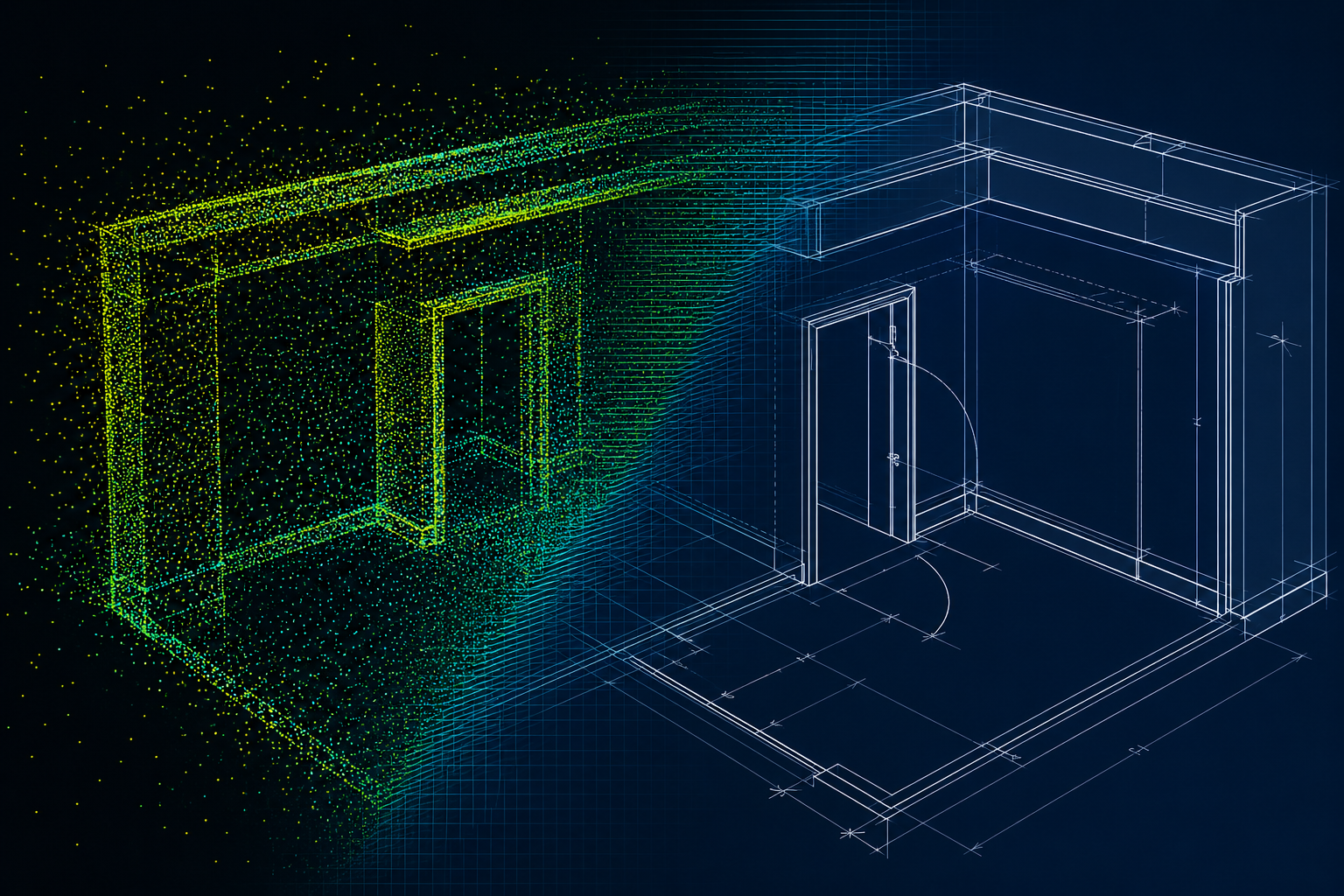
Detailed As-Built Documentation, Delivered as Fully Dimensioned DWG & RVT Files
Win more projects and eliminate costly site re-visits with as-built documentation you can actually trust. Our scan-to-BIM service pairs TSI's field LiDAR capture with ScantoBIM's professional drafting team, giving architects, engineers, and contractors a rock-solid starting point for design.
Stop Measuring, Start Designing
Instead of piecing together rough sketches, photos, and tape-measure notes, you get a complete LiDAR point cloud of existing conditions plus the data-rich CAD and BIM files you need to move straight into design — without going back on site.
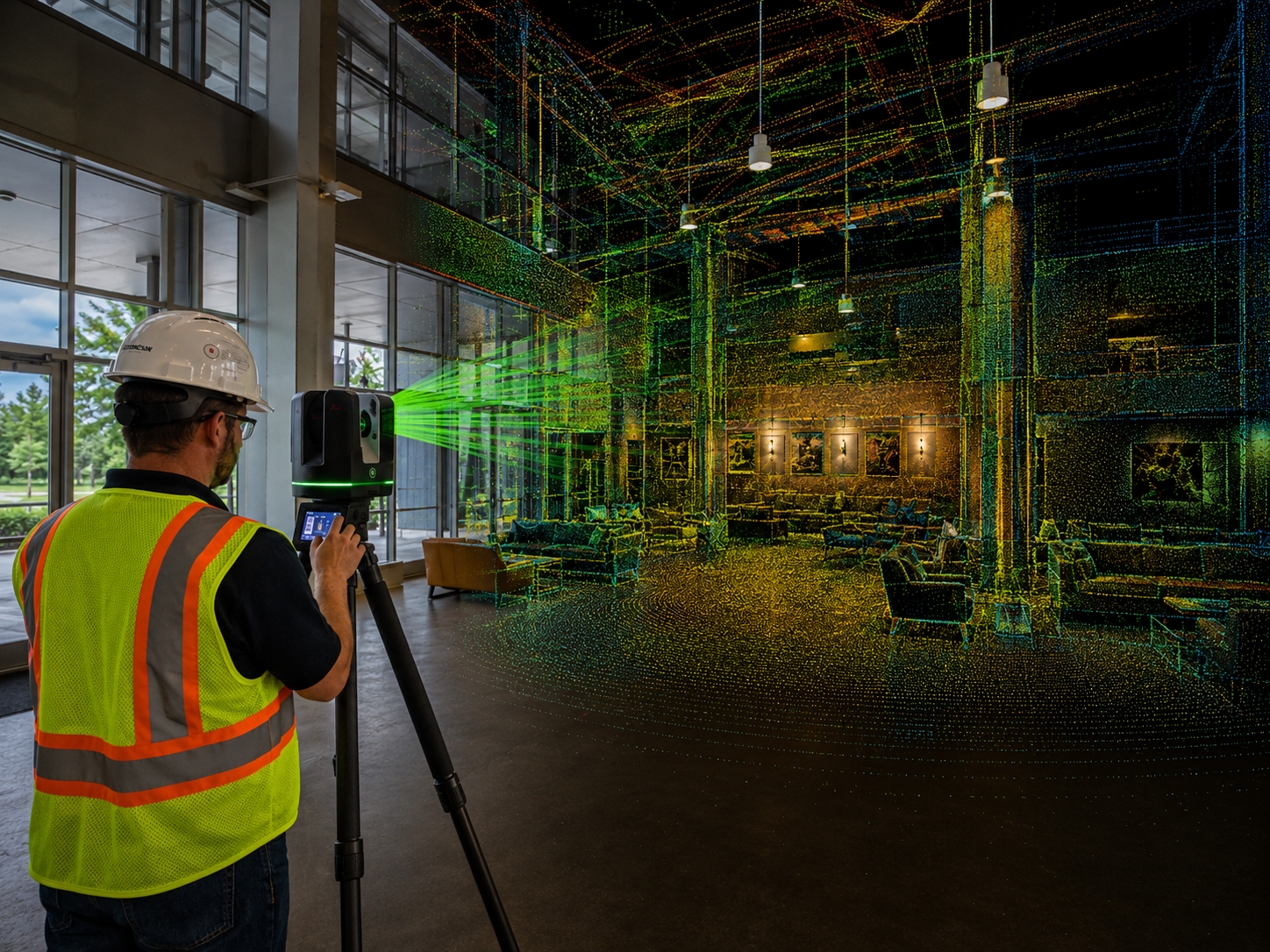
Verify As-Builts With Confidence
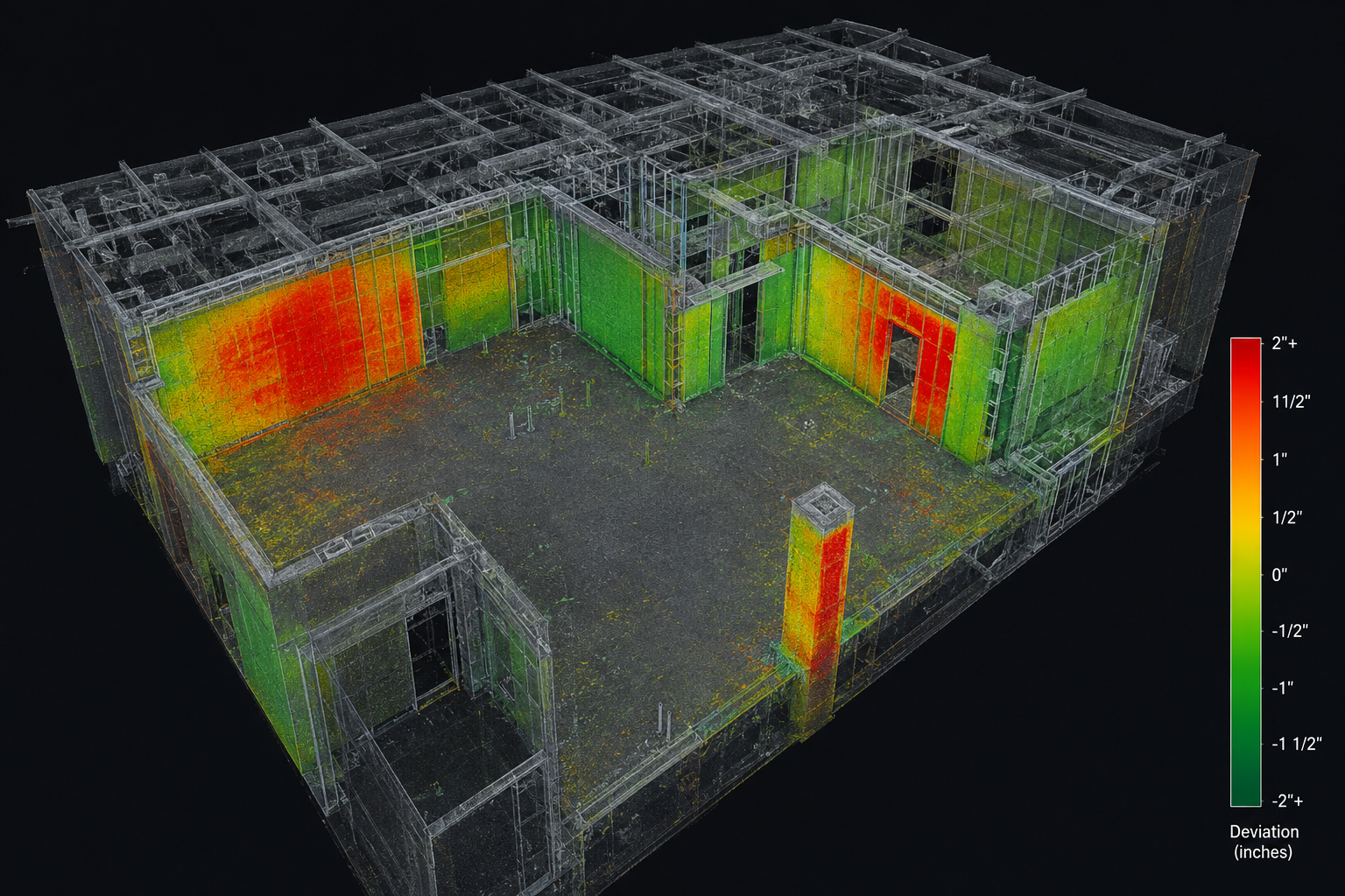
We provide a highly accurate LiDAR point cloud that your team can overlay directly onto design drawings. Instantly spot deviations, confirm framing accuracy, and ensure construction matches your vision before it becomes a costly problem.
A Complete As-Built Package, From One Relationship
Field capture and CAD/BIM production are coordinated directly between TSI and ScantoBIM, so your project isn't waiting on a second vendor. One point of contact, one timeline, one finished deliverable.
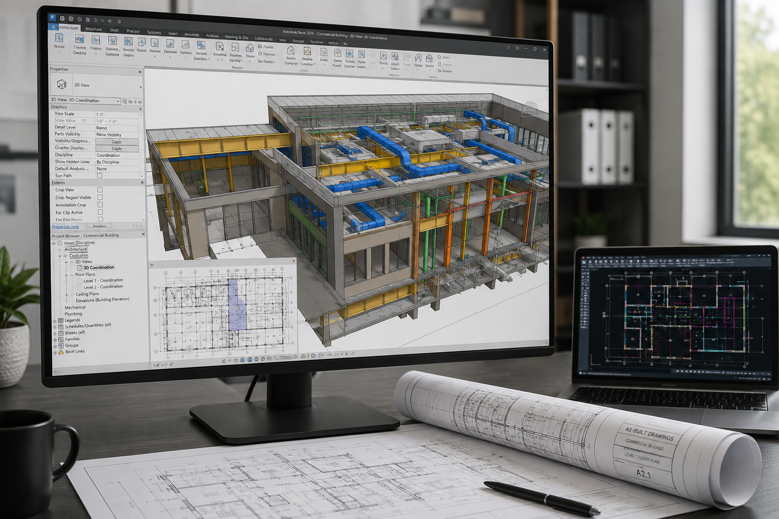
What's Included in Your As-Built Package
Delivered in the formats your design and construction teams already work in.
Fully dimensioned, professionally drafted floor plans.
3D BIM models at LOD 200–400 for coordination.
Open-format models for cross-platform BIM workflows.
Raw LiDAR data for overlay and independent verification.
Built for the People Who Have to Work Off the Drawing
If you're responsible for a building's design, construction, or upkeep, an accurate as-built model saves you from working off guesswork.
Architects & Designers: Start renovation or addition design from real existing conditions instead of decades-old drawings.
Structural & MEP Engineers: Get true dimensions and clearances for analysis, retrofit design, and clash-free coordination.
General & Remodeling Contractors: Bid and build from coordination-ready drawings that match what's actually on site.
Building Owners: Get a permanent, accurate digital record of your property for capital planning and due diligence.
Facility Managers: Maintain a living as-built model that supports maintenance, space planning, and lifecycle decisions.
Scan to Finished Drawing, in Five Steps
1. Field Capture: TSI scans your building or site using drone LiDAR, 360° terrestrial LiDAR, and GNSS RTK ground control.
2. Registration & Cleaning: Individual scans are aligned into a single unified point cloud, with noise removed.
3. Deviation Check: The point cloud is reviewed for structural drift and tolerance issues before modeling begins.
4. CAD & BIM Modeling: ScantoBIM's drafting team builds your architectural, structural, and MEP elements to the agreed level of development.
5. Delivery: You receive finished DWG, RVT, or IFC files, ready to hand to your design or construction team.
"Being able to overlay an accurate point cloud onto our design drawings has eliminated guesswork on renovation projects. We catch framing and clearance issues before they become costly problems on site."— [Client Name], [Firm Name] — [City, FL]
Common Questions
What is scan-to-BIM?
It's the process of turning a laser-scanned point cloud of an existing building or site into a finished CAD drawing or 3D BIM model that reflects real, as-built conditions.
What formats are as-built drawings delivered in?
Packages are delivered as DWG CAD files, Revit RVT models, and IFC files, depending on what your project and software require.
Who typically needs this service?
Architects, structural and MEP engineers, general contractors, building owners, property managers, and facility managers, for renovation, retrofit, facility management, insurance, and capital planning work.
Do you work outside Florida?
Yes. TSI is based in Sarasota, Florida, and provides field data capture throughout Florida — including Bradenton, Venice, and Tampa — and across the United States.
What level of detail (LOD) can I get?
Models are typically delivered at LOD 200–400, matched to your project's coordination, documentation, or facility management needs.
Don't Just Build It — Document It With Precision
Contact Technology Surveys & Inspections today at (941) 356-4212 to schedule a scan and see how you can save time, reduce errors, and deliver unparalleled value on your next project.
Email Jerald Smith